Really sorry to announce this, but this will have to be postponed to hopefully another date later in the year. We’ve had far too much going on at the moment, and we’re nowhere near prepared for it. I hope you fully understand, and we’re sorry to cause changes to your weekend plans.
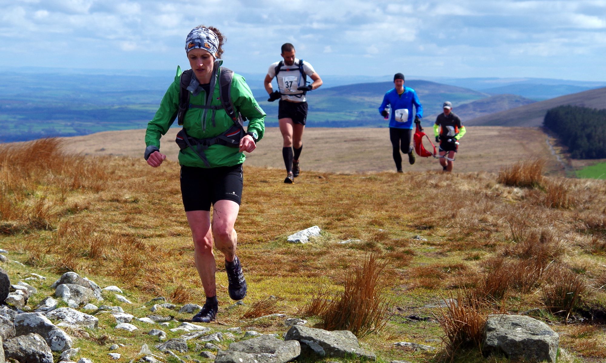
So, what the ‘eck’s the Preseli Dib Dab? Well, It’s a 2 day orienteering style 4hr score event on the 27th & 28th June 2026. It’s like an orienteering event where you get given a marked map at the start line, and you have to navigate your own way to various checkpoints/controls. No waymarkers, no arrows, just you, the map, and the hills. This is also a staggered start event, so you can’t even follow the runner in front. It ain’t a good idea to follow runners anyway as you don’t even know if the person in front is running the same way as you! The event is predominantly off-road, with possibly some road crossings!
What’s a score event you say? The map will be pre-marked with all the checkpoint locations on it. Each checkpoint will have a certain score to them, ranging from 10points to 80points! Obviously the higher the points, the harder it is to get there. You’ll have 4hrs to get to as many checkpoints/points as possible. If you go over 4hrs, then you’ll have 10points deducted for every 5mins over time! You’ll also get DQ’d if you go over 30minuted!
The start/finish to each day will be the same, so no need to lug all your gear to a different place.👍😜
Previous map- DipDab 2023-All controls
What’s at each checkpoint? There will be an electronic dibber box. You need to use the wristband (that you’re given during registration at the start), and use this to press the button on each of the dibber boxes that you visit. Make sure you hold the dibber button in for a few seconds. It should beep and emit a small light. This collectively gathers all the checkpoints you’re visiting, and ultimately gives you the points for when you download at the end. It also gives you split times between each checkpoint! Thanks to Tim Plumb of realtimeracing for making and utilising these.
First runners can start at 10am, with last runner heading off latest 11am. So make sure you’re starting by then! 2 minute staggered starts between runners/pairs. Yes, you can run as a pair if you want. Just let me know, but you’ll only be given one wristband!
Local knowledge will be useful, but not essential…….as long as you can navigate.
Details of where the event centre will be located will be given out approx 1 week before the race. Actually, I can now reveal that the event centre will be Llanerch farm, The Gwaun valley, North Pembs. You’ll need to be self sufficient out on the open fells, but there will be some refreshments at the end. There will be no aid/food stations out on course, but there will be first aid station at a location marked on the map. This will also have some water available to you. The map will also have my contact number should you need urgent assistance, not for asking where you are! lol Regarding water, there’s mostly plenty of good water courses on the hill……………which is fresh and free!
Mandatory Kit– All competitors will need to adhere to WFRA rules in regards to compulsory kit. You’ll need to carry the following as a minimum.- Full waterproof top and bottoms with taped seams(I might adjust this to a windproof dependant on weather, and this will be stated at the site on the morning); sufficent food for the duration of your intended course; compass; a mobile phone; water container; the map(which will be supplied just prior to you starting) long sleeved top(if you wear this at the start, then it’s fine); a small first aid kit; emergency bivvy(not just a foil blanket, Link here to some on Amazon); whistle; gloves; hat; fell or suitable off-road trainers; a suitable running backpack to carry everything in(apart from the trainers which you should be wearing!); and a waterproof pen/pencil.
The Map– A minute or so before you start you’ll be given a bespoke(love that word) A3 waterproof map in OS form, detailing all the control points. It might be worth you spending a little while working out which checkpoints you are going to visit, and possibly drawing your intended route on the map.
Orienteering type orange and white kite below- These will be situated and attached to the electronic dibber boxes.
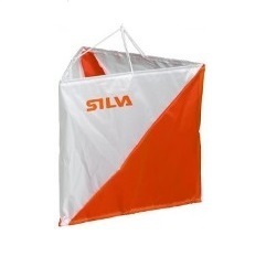
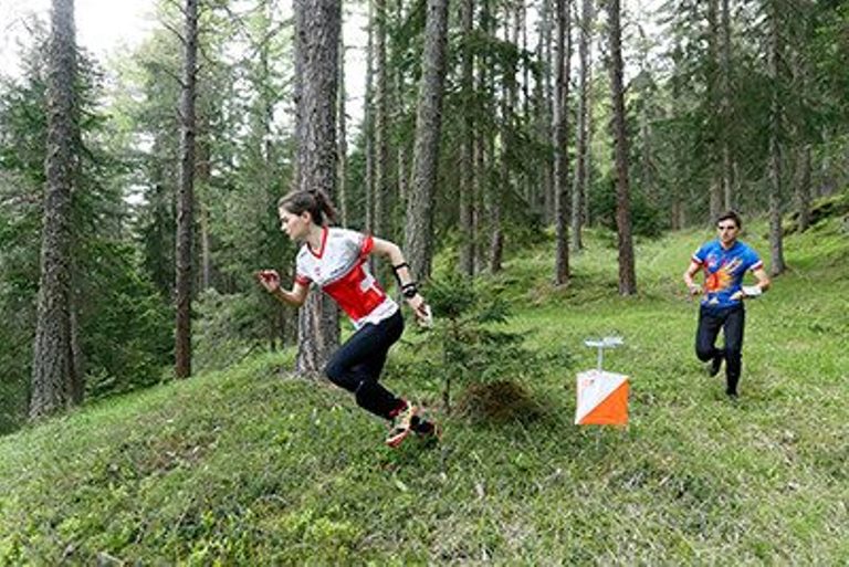
Or like this
Not like these kites!!!-

Want to run it? Then get entering! Click here- Shop.
Free tea and cake afterwards.
If travelling from away, then please check out the places to stay page here.
So, are you ready to be Dib-dabbed? Then put the date in diary. In the meantime put the Preseli Beast(or other races down on the calendar. 😉
This will be a limited pre-online entry only.