Beastly routes below.
The Preseli Beast route on OS maps.
Beastly PDF route- Preseli Beast southern half, & Preseli Beast northern half
The UltrabeasT route on OS Maps – UltrabeasT route
UltrabeasT route East sect PDF route – UltrabeasT route EAST
The Beast Bach PDF route – The Beast Bach
Beast Bach Twt(Smallest event) PDF route – Beast Bach Twt An approx guide.
Photos.
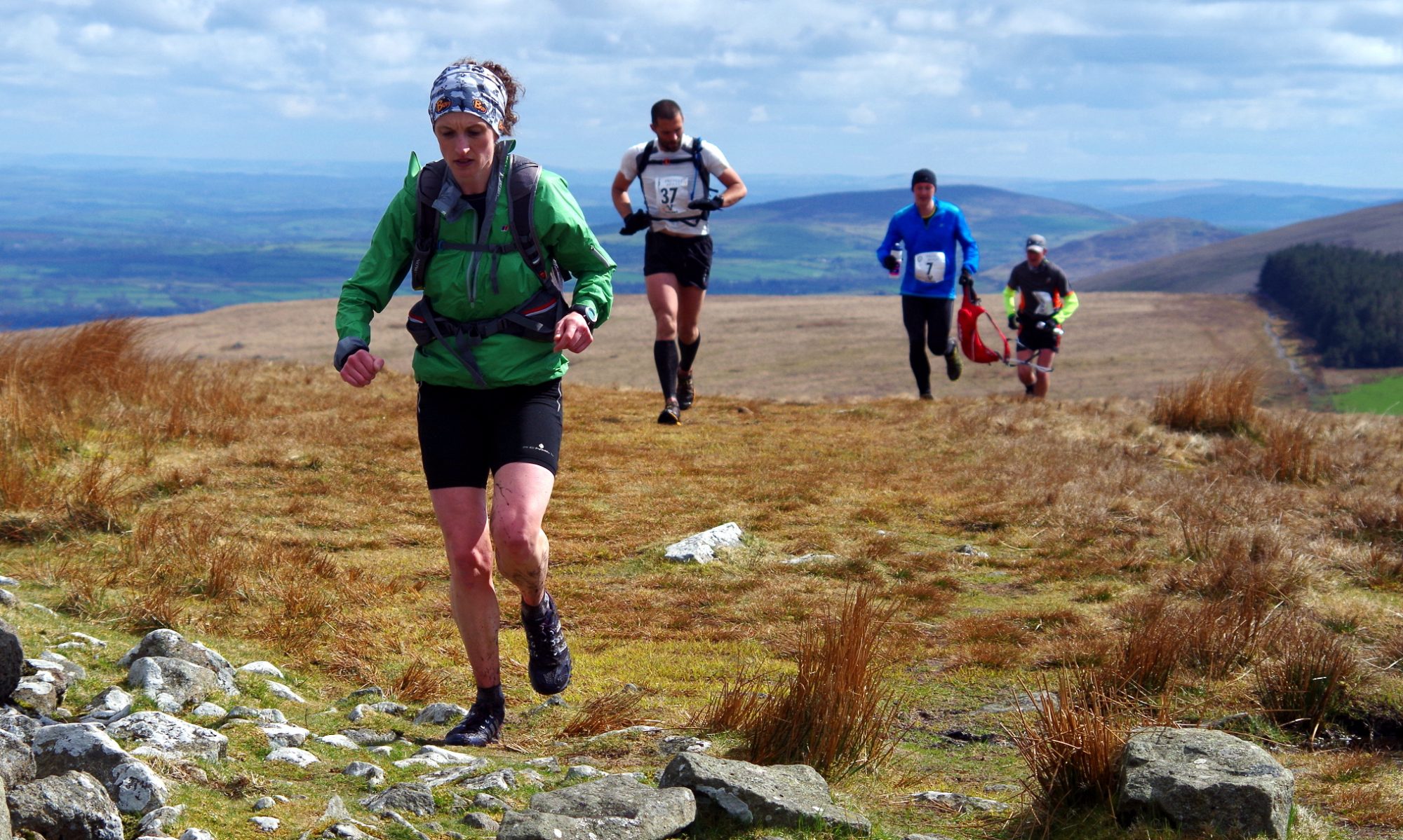
This is a link to flickr which shows some of the Preseli Beast runners heading towards Foel Eryr(first top), and cnwc-yr-hydd(4th top) on race day, which was taken by one of the marshals. http://www.flickr.com/photos/95510817@N07/show/
Slideshow 1:A trip around the Preseli Beast Route….in November
Slideshow 2: A Beast Bach Reccie……in March.
Below is just for special occassions! The WoD(Wall of Death) was introduced as an extra ‘Special’ hill to celebrate the 10th anniversary of the Beast. This will probably return every 5 yrs, so next one will be in 2029. 😉
Yo, so you want to know what the route looks like? Well, here are the routes in various formats.
Ok, the new route for the Special Edition 2024 routes which include the WoD(Wall of Death!).
Beast with added WoD map for runners. -24.5miles, with a leg busting 5,500ft of elevation! 😉
Beast Bach, with WoD – 11.3miles with 2,550ft of elevation!
Beast Bach Twt, with WoD – The easiest option! 10.2 miles with 1,900ft of elevation! Please note- This is a non-competitive event. It will be marked, and will have marshals. There is only one section where you are seperated from the others doing the Beast Bach with WoD.
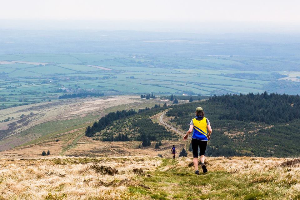


A huge thank you, Caz, to you and your fantastic, enthusiastic, supportive, helpful and welcoming marshals/locals. We thoroughly enjoyed the Beast Bach on our first visit at the weekend – great setting, route and organisation, and such a friendly bunch of competitors. We will be back for the Beast itself next year. Can’t wait!