Maenclochog is a quiet rural village just on the south-western fringes of the Preseli hills range and near to the highest point of the Preselis, North Pembrokeshire. Sat navs might take you on a de-tour of the area, but the village hall postcode is SA66 7LA
Directions to Maenclochog Community hall. Race HQ.
If coming from the East then please follow the M4, A48, A40 west, past Carmarthen, St Clears, and Whitland(by-pass), turn Right(north) at ‘Penblewin’ roundabout onto the A478(Cardigan), and follow this road down the hill and back up the other side(approx 2miles), but just as you crest the hill, turn ‘Left‘ at the crossroads just before coming to the village of Clunderwen(it’s sign-posted Maenclochog B4313). Once onto this sometimes narrow and twisting road you don’t turn off anywhere for approx 8 miles until you reach the T-junction which is in Maenclochog. Turn Right at the T-junction heading for the centre of the village for approx 300yds. (Take note of the village car park on the right on route as you might need to park here if the Community hall car park is full on the day!!)
Once you reach the garage/petrol station on the right. Turn Right by the garage, and the Community hall is 200yds down on the left. If the car park at the hall is full then please retrace your steps to the village car park.
If you’re coming from the North, then please follow the A487(T) from Aberystwyth south to Cardigan. At Cardigan take the ‘A487’ Signposted for Havefordwest/Fishguard and not the A478 for Tenby at the second roundabout(easily confused!!)!! Follow this road and go through ‘Eglwyswrw’(trying saying that after a few too many??). After half a mile or so, turn Left onto the B4329 sign-posted for Haverfordwest by the Brian Llewelyn petrol station. From here the Preselis start coming into view a bit better….hopefully! Carry on this road, going up and over the highest point at which the road goes over the Preselis. Take note of the car park on the left as that’s where CP1 will be, with Foel Eryr on your right!!Descend the other side for approx 1.5 miles and turn Left at the crossroads sign-posted for Maenclochog/Rosebush B4313. Stay on this road for approx 2 miles until you come into the village of Maenclochog. As you drive through the village, take note of the church on the village green in front of you, and as you pass it on the left, you need to turn Left at the T-junction by the (2nd)petrol station.( You might not have noticed the first petrol station!!)
The Race HQ/ Community Hall is 200yds down this road on the Left. If the car park is full then please retrace your steps back to the Petrol station, turn left, and you’ll soon come across the village car park on the left.
Hope this helps. If you have any questions then please don’t hesitate to contact me.
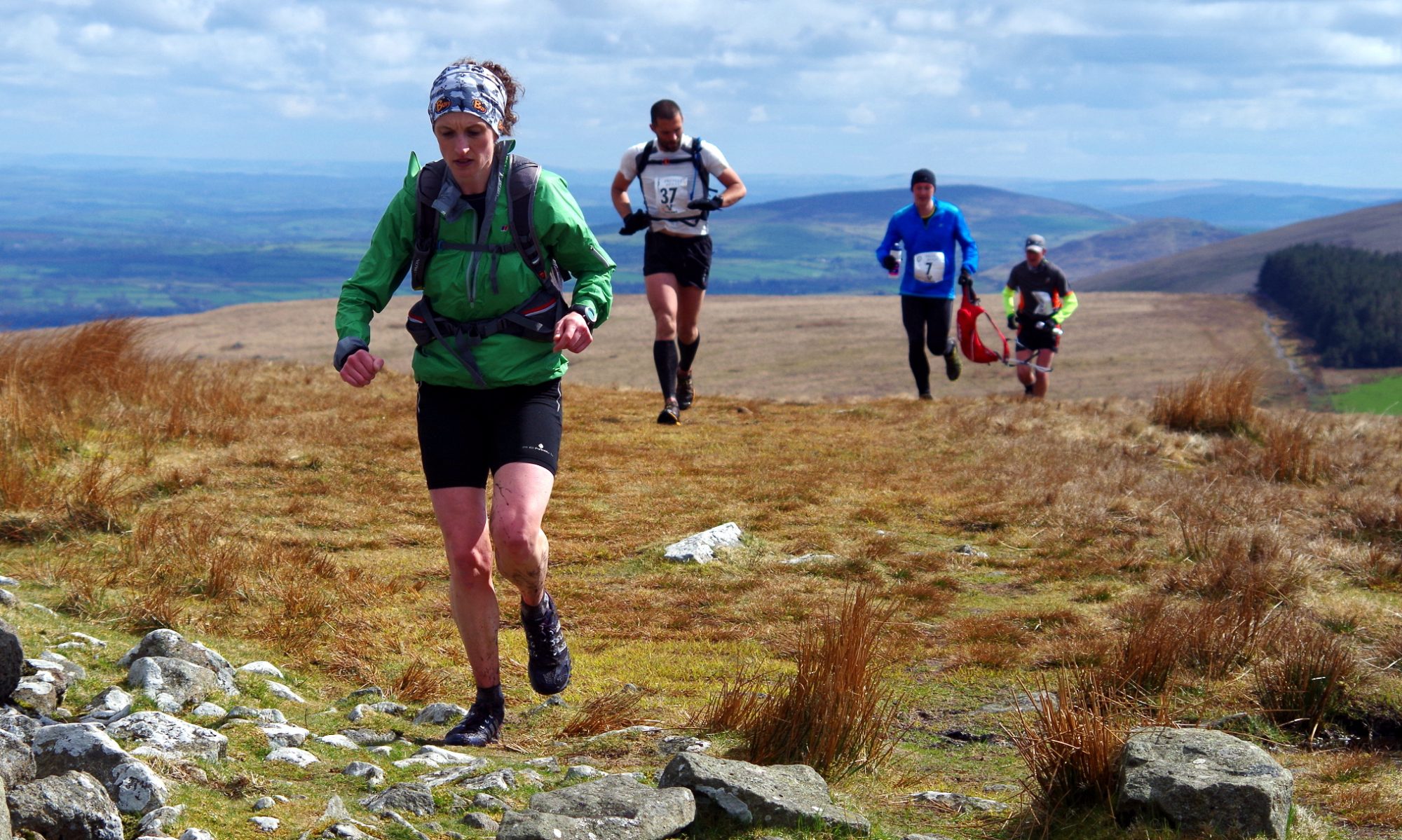
Caz, the hat!